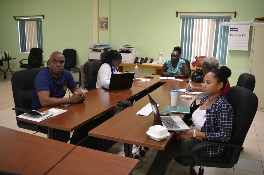
Caribe Wave 2021 concluded on Thursday, 11th March, with a Virtual Table Top Exercise, simulating an 8.5 magnitude, Tsunami-generating Earthquake, taking place in the Northern Lesser Antilles.
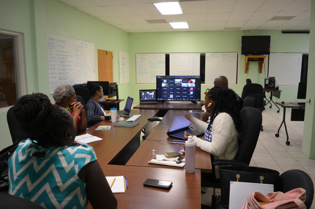
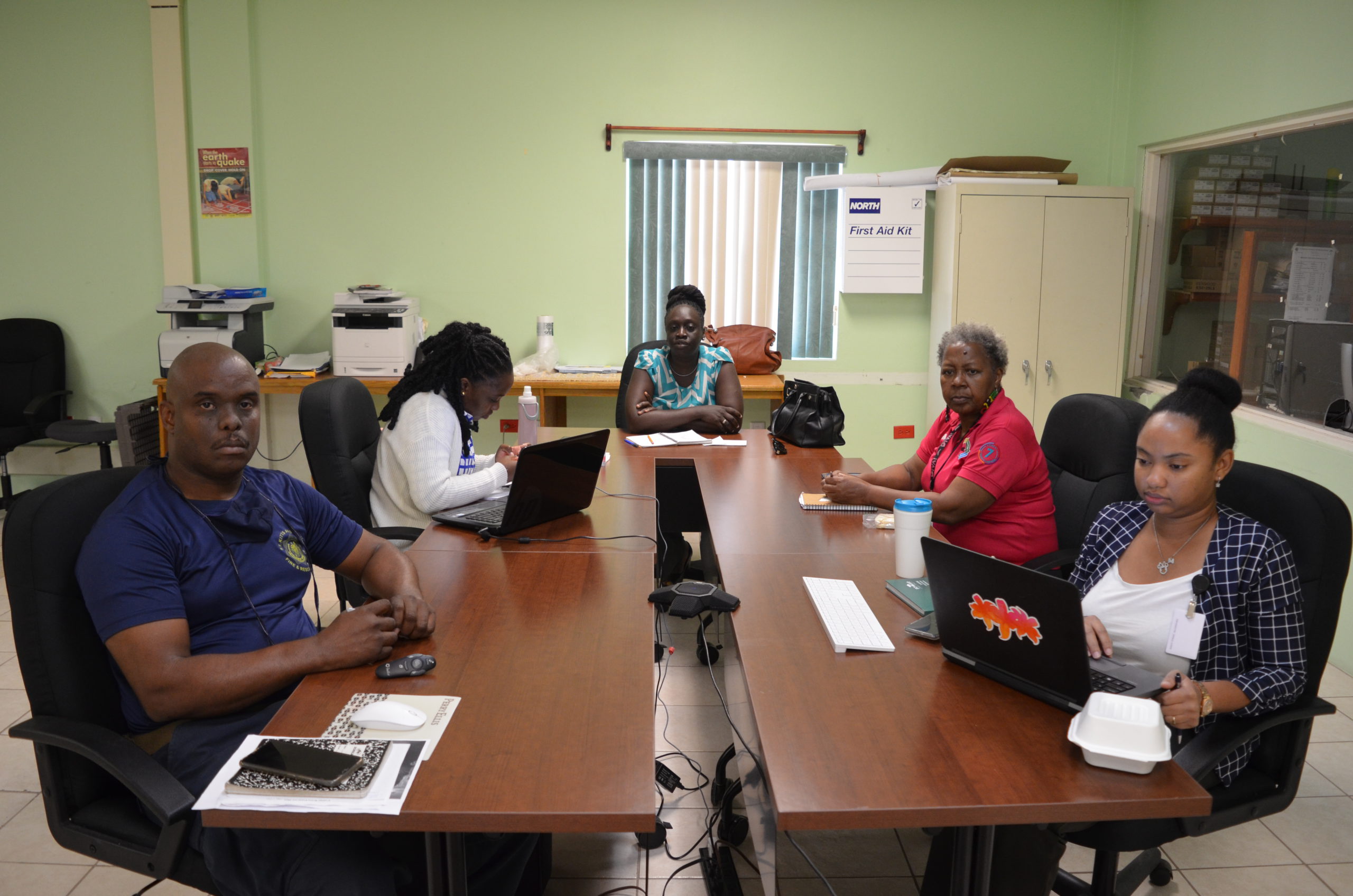
Exercise Director and Deputy National Disaster Coordinator, Claricia Langley-Stevens, led a team of responders, including representation from Nevis Disaster Management Department (NDMD), Police Telecomms, Fire and Rescue Services, National Disaster Sub-Committee Chairs, St. Kitts-Nevis Red Cross Society, Public Works Department, St. Kitts-Nevis Police & Defence Forces and the Coast Guard throughout the virtual event.
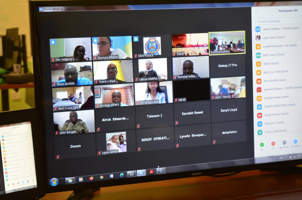
“In order to break the activities down into easily digestible segments”, Mrs. Stevens said, “the exercise was presented in 2 separate forums during the day.”
Sharing remarks at the end of play, National Disaster Coordinator gave the Team an A for the level of response initiated during both segments.
“I want to commend the DNDC and her team (which included NEMA Planning Officer and Districts Coordinator, Oureika Lennon-Petty and Bereece Williams, respectively; Fire Sub-Service Officer, Timothy Martin, and Police Supt. Lyndon David) for a job well done,” Mr. Samuel said, “and I want to encourage all of us to be receptive to these types of exercises as they position the agency to provide improved safety and security to all of our customers, Federation-wide, before, during and after a hazard impact.”
The purpose of the exercise is to improve Tsunami warning system effectiveness among local, regional and international partners, giving disaster organisations the opportunity to test operational lines of communication while reviewing tsunami response procedures, and promoting Tsunami preparedness among their citizenry.
Regular testing of response plans is critical to maintaining readiness for an emergency, according to NEMA’s Planning Officer.
“This is particularly true for the Caribbean and adjacent regions,” Mrs. Lennon-Petty said, “where Tsunamis are infrequent but can be of very high impact.”
Mrs. Lennon-Petty shared the exercise objectives, noting their overarching capacity to evaluate the operations of the CARIBE Tsunami Warning System, following:
- Exercise and Evaluate Communications between Regional Tsunami Service Provider and Member States/Territories:
a. Validate the issuance of Tsunami products from the PTWC.
b. Validate the receipt of Tsunami products by CARIBE-EWS Tsunami Warning Focal Points (TWFPs) and/or National Tsunami Warning Centres (NTWCs). - Evaluate the Tsunami procedures and programmes within Member States/Territories.
a. Validate readiness to respond to a Tsunami.
b. Validate the operational readiness of the TWFPs/NTWCs and/or the National Disaster Management Office (NDMO).
c. Improve operational readiness. Before the exercise, ensure appropriate tools and response plan(s) have been developed, including public education materials.
d. Validate the dissemination of warnings and information/advice by TWFPs and NTWCs, to relevant in-country agencies and the public is accurate and timely.
e. Evaluate the status of the implementation of the pilot CARIBE-EWS Tsunami Ready recognition programme.
Tsunami records from sources such as the NOAA National Centers for Environmental Information (NCEI) show that, between 1530 and 2018, Tsunamis from Earthquakes, Landslides, and Volcanic sources have all impacted the region. Over the last 500 years, at least 83 confirmed Tsunamis have been observed (7-10% of the world’s oceanic Tsunamis) and over 4,500 people in the Caribbean and adjacent regions, have lost their lives from them. (Source: NCEI (2020).
In addition to Tsunamis, the region also has a long history of destructive Earthquakes.
The incidence of major earthquakes striking the Caribbean region once about every 50 years has been repeatedly documented during the past five centuries. Within the region, there are multiple fault segments and submarine features that could be the source of earthquake and landslide-generated Tsunamis; with at least four major plates (North America, South America, Nazca, and Cocos) bordering the perimeter of the Caribbean plate.
In addition to the local and regional Earthquake sources, the region is also threatened by teleTsunamis/transatlantic Tsunamis, like the 1755 Portugal event which produced waves as far West as Martinique in the Caribbean Sea.
Furthermore, five confirmed Volcano Tsunami source events – two (2) from Volcano generated Landslides, ONE (1) from a mud Volcano and one (1) from a submarine Landslide – have affected the Caribbean and adjacent regions in the past. (Source: International Tsunami Information Center [ITIC] and National Centers for Environmental Information [NCEI], 2018).
Tsunami services for the Caribbean and adjacent regions within the UNESCO/IOC CARIBEEWS framework are currently provided by the Pacific Tsunami Warning Center (PTWC) in Hawaii. It issues its messages two to ten minutes after an Earthquake. The PTWC international products include Tsunami information and threat messages. Primary recipients of the PTWC messages include Tsunami Warning Focal Points (TWFPs) and National Tsunami Warning Centers (NTWCs), like Police Telecomms in St. Kitts and Nevis. These agencies are responsible for issuing the corresponding alerts to the competent authorities, including the National Emergency Management Agency and stakeholders, according to established protocols. #caribewave2021
*SKN DMers – St. Kitts Nevis Disaster Managers.